
Blog / Missing Middle Housing
Toronto Height Overlay Zoning: What the Extra Metres Mean for Your Lot
Written by Anthony Palleschi · November 18, 2026 · 8 min read
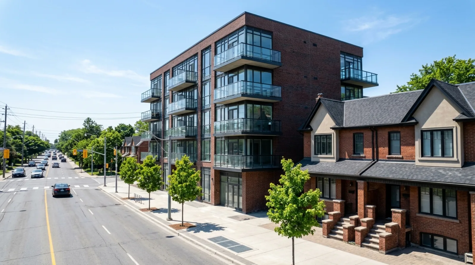
How tall can you build on your Toronto lot? The zoning by-law answers in two numbers. The first is the base height of your zone. The second is the number on the Height Overlay map for your specific lot. This post sets out how those two numbers combine, where to read them, and which rules still apply on top, as the by-law reads on November 15, 2026.
I'm Anthony Palleschi, a real estate sales representative in Toronto, and I work with owners and builders on lots where height is the deciding factor. For how wide-street rules change what height buys, see my post on Toronto major streets zoning and lot assembly. For the full zoning picture, see the Toronto multiplex zoning guide.
Two heights, not one
Chapter 10 of Toronto's zoning by-law sets a base height for each residential zone. In the five zones where a multiplex is allowed, the base height sits in this range:
| Zone | Base height in metres |
|---|---|
| R (Residential) | 9.0 to 10.0 |
| RD (Residential Detached) | 8.5 to 10.0 |
| RS (Residential Semi-Detached) | 9.0 to 10.0 |
| RT (Residential Townhouse) | 10.0 |
| RM (Residential Multiple Dwelling) | 10.0 to 14.0 |
These numbers come from the zone-specific chapters in the by-law. Each zone has a prescribed height that is then confirmed, raised or lowered by the Height Overlay map in Chapter 20.
The Height Overlay map is the layer that most owners have never opened. It sets a specific height in metres on each lot. The number can match the base height, sit below it, or sit above it. The by-law then says the building height is the lower of the two numbers, except where a specific rule in the by-law allows a different number.
Where to read your lot
The City's Zoning By-law Interactive Map shows the Height Overlay as its own layer. A query on an address returns the base zone and the overlay number together. The map is free and does not need an account.
Open the map, type the address, and under the zoning report, look for two lines:
- The base zone (for example
RD (f12.0; d0.35; a510) (x1)). - The Height Overlay (for example
HT 9.0 m).
The first line is the zoning for the lot (frontage, density, lot area and a site-specific exception). The second line is the height on the overlay layer. In this example the overlay says 9.0 metres, which is lower than the 10.0 metre typical RD base, so 9.0 metres is the ceiling for most buildings on this lot.
What the multiplex permission does
The citywide multiplex permission, added in October 2023 and refined by By-law 648-2025, sets a maximum height of 10.0 metres for a multiplex, or the Height Overlay number if the overlay number is higher.
That has two effects:
- A lot with an overlay below 10 metres can still build to 10 metres as a multiplex. The multiplex rule works as a minimum ceiling. A lot with an overlay of 9.0 metres still gets 10.0 metres for a two-to-six unit building.
- A lot with an overlay above 10 metres can build to the overlay. A lot with an overlay of 12.5 metres can build a multiplex to 12.5 metres, within the other by-law rules.
Outside the five residential zones that allow multiplexes, the multiplex rule does not apply. A single-family rebuild still uses the lower of the base zone and the overlay number.
What the overlay does not override
The Height Overlay is one of several layers. It can be overruled, in effect, by rules that set a lower limit on a particular lot. Four common examples:
- Avenue Segment rules in the Official Plan. A lot on a designated Avenue may have its height set by a specific Avenue Study, which can be stricter than the overlay. The Avenue height is in the zoning, often as a site-specific exception.
- Major Streets rules in By-law 648-2025. A lot on a Major Street with the new 10, 30, 60-unit rules has height, frontage and unit rules on top of the overlay. My post on the Major Streets 10, 30, 60 unit rules covers them.
- Secondary Plan areas. Downtown, Yonge-Eglinton, King-Parliament and other Secondary Plans each carry their own height schedules. The Secondary Plan schedule can trump the Height Overlay.
- Heritage Conservation Districts. A lot in a Heritage Conservation District may be subject to a district plan that limits height below the overlay.
The simple rule when layers overlap: the lower limit wins, unless a specific rule in the by-law allows a higher number.
What the overlay does not control
The Height Overlay is about the total building height, measured to the main roof under the by-law's height rules. It is one number. It does not control:
- The number of storeys.
- The floor space index (how much interior floor area the building holds).
- The lot coverage (the share of the lot the building sits on).
- Setbacks from the lot lines.
- Angular planes (a slope that limits how much of the back of the building can reach the overlay height).
A design that fits the overlay can still fail one of these other rules. A thin, tall building with a small footprint may be compliant on height but not on floor space index. A tall building close to the back lot line may be compliant on height but fail the angular plane.
How the overlay changes
The Height Overlay is not a once-and-for-all map. The City changes it through:
- Official Plan Amendments adopted by Council.
- Site-specific zoning by-law amendments for a particular property.
- Settlements at the Ontario Land Tribunal that direct the City to amend the by-law.
- Secondary Plan updates, which can set a new schedule of heights for a precinct.
A lot's overlay number can move up with a Secondary Plan review or an Avenue Study. The current map is the one to check. A number read from an older version of the by-law is not the one a permit would be measured against.
What this means for lot value
For a builder, the overlay number is one of the three numbers that decides what a lot can hold. The other two are frontage (which sets the width of the building) and depth (which sets how far back it can go). For an owner, the overlay is one of the quietest changes in zoning value. An overlay change made without a public hearing on your street can move your lot from a four-storey ceiling to a five-storey ceiling with no outward sign.
My post on how builders price land explains why the overlay number tends to show up in the land price before the owner sees it. A builder tracking the Height Overlay for a precinct is tracking a leading indicator of what each lot in it is worth.
Questions to ask about your lot
- What is my base zone, and what is its height in metres?
- What is the Height Overlay number for my lot today?
- Is my lot on a Major Street or in a Secondary Plan with its own height schedule?
- Is the overlay likely to change in a current study?
- Which rule other than height will set the final size of the building?
If you want to walk through your lot's layers and what they add up to, see how I work with sellers and builders, or reach me through the contact page or at 416-636-6800.
Planning and development potential is property-specific and subject to zoning, approvals, site conditions, municipal review and other due diligence.
Sources
All pages opened on November 15, 2026 (PT).
- City of Toronto, Zoning By-law 569-2013, Chapter 20 Height Overlay: the Height Overlay map and how it relates to the base zone.
- City of Toronto, Zoning By-law Interactive Map: the public viewer that reads the Height Overlay number for any Toronto lot.
- City of Toronto, By-law 648-2025: the 10-metre multiplex height and the Major Streets height rules.
- City of Toronto, Considerations when building multiplexes: the height for a multiplex and which overlays apply.
Frequently asked questions
What is the Height Overlay in Toronto zoning?
The Height Overlay is a map in Chapter 20 of Toronto's zoning by-law. It sets a specific height in metres for each lot in the city, on top of the base height of the zone. A lot's building height is the lower of the base zone height and the overlay number, except where a specific rule in the by-law allows a different height, such as the 10-metre multiplex height.
Where can I see my lot's Height Overlay number?
The City's Zoning By-law Interactive Map at map.toronto.ca shows the Height Overlay as a layer. A query on the lot returns the base zone and the overlay number together. The interactive map is the fastest way for an owner to check the number before a design is drawn.
Does a multiplex have to meet the Height Overlay?
The citywide multiplex permission allows a maximum height of 10.0 metres for a multiplex, or the Height Overlay number if the overlay number is higher. A lot in the sixplex areas with an overlay of 11.0 metres can build up to 11.0 metres. A lot with an overlay of 9.5 metres still builds up to 10.0 metres under the multiplex rule, because the overlay sets the minimum ceiling, not the final one.
Does the Height Overlay apply to a laneway or garden suite?
No. The height for a laneway or garden suite is set by Chapters 150.7 and 150.8 of the by-law: 4.0 metres within 7.5 metres of the house, 6.3 metres and two storeys at 7.5 metres or more. The Height Overlay map applies to the main building, not to the small home at the back.
Can the Committee of Adjustment grant a variance to the Height Overlay?
Yes. The Committee of Adjustment can grant a minor variance to any numerical rule in the zoning by-law, including the Height Overlay. The four Planning Act tests still apply: is the request minor, does it keep the intent of the by-law, does it keep the intent of the official plan, and is it good planning for the lot.
Does the Height Overlay override the Avenue Segment rules?
No. The Avenue Segment rules in the Official Plan and the Major Streets rules in By-law 648-2025 operate alongside the Height Overlay. A lot on a Major Street with an overlay number of 12.0 metres is subject to both the overlay and the Major Street rules, so the lower limit wins unless a specific rule in the by-law allows a higher number.
How often does the Height Overlay change?
The City updates the Height Overlay through Official Plan Amendments and site-specific by-laws. Changes can come from a Secondary Plan study, an Avenue Study or a settlement from the Ontario Land Tribunal. A lot's overlay number can move up when the Secondary Plan for that area is revised, so the current map is the one to check before any design.
Is the Height Overlay the same as the Floor Space Index?
No. The Height Overlay sets how tall a building can be. The Floor Space Index limits how much floor area it can hold. A lot with a tall overlay but a low Floor Space Index can only use the extra height if the floor plates are smaller. My next post on this site will explain how lot coverage and Floor Space Index work together.